To Follow Click The Blue Button

Showing posts with label Europe. Show all posts

Wednesday, March 7, 2018

National Geographic Mapmaker Kit

National Geographic
If you would like some large maps for your classroom that you can printout on regular 8x11 paper and jigsaw them together then try National Geographic Mapmaker Kit.  According to their website,"Each kit enables the user to download, print, and assemble maps of the world, individual continents, and the United States in a variety of sizes. Mega maps occupy a large wall, or can be used on the floor; projector maps give you some flexibility about sizing; the tabletop map is good for small group work, and the one-page outline maps are perfect for individual work."

To see the website click here.

Wednesday, January 8, 2014

Map of Europe from 1000 AD to Present

From Chart Porn - charts you just gotta love

Lots and lots of changing going on here.  If you teach European History this might be a nice intro.


Tuesday, December 17, 2013

Mon Cahier D'Europe

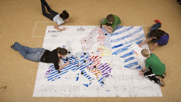
The French Ministry of Education produced 3 pdf's about the countries of the European Union.  The one shown below is for 13-15 year olds (in France).  This could also be used in a Travel and Tourism class for students that speak French.

You can look at this document as a multimedia book by clicking here or download the pdf document by looking here.